Services / GIS & Geospatial
GIS & Geospatial Services
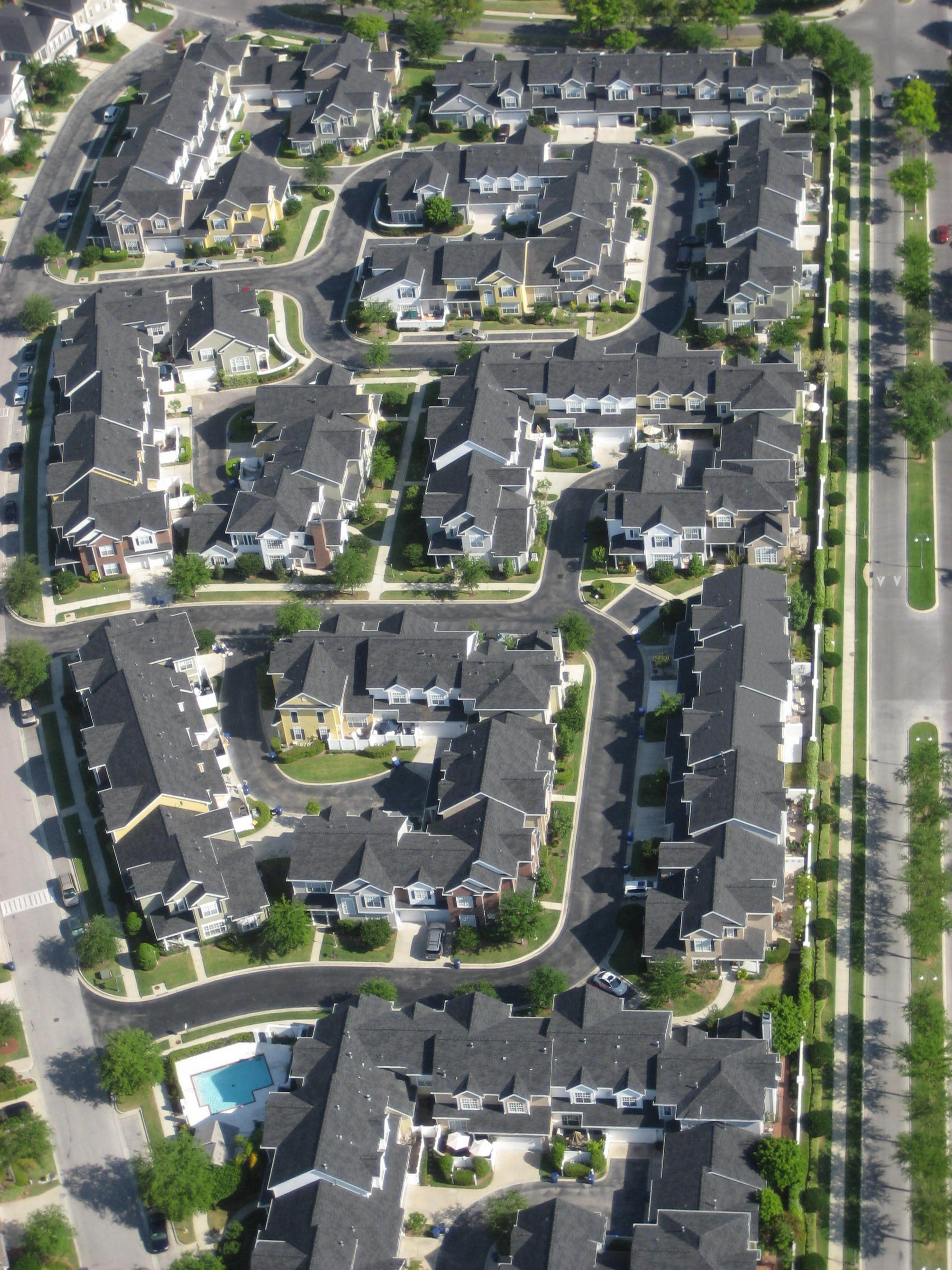
Mapping, analysis, and data governance for infrastructure programs — through our affiliated practice, Amber Waves, LLC.
Infrastructure programs run on good geospatial data. Through our affiliated practice, Amber Waves, LLC, we provide the mapping, analysis, and data governance that broadband and infrastructure projects depend on — from service-area planning through field-collected as-builts.
What we do
-
Broadband and infrastructure mapping
Service areas, network routes, and premise-level analysis.
-
GIS analysis and modeling
ArcGIS-based planning, suitability, and coverage analysis.
-
LiDAR and remote-sensing support
Terrain and asset data for design and route planning.
-
Field-data and as-built workflows
Collection, edit governance, and integration with project data platforms.
-
Data platform and coordination support
Structuring geospatial data so stakeholders share a single source of truth.
Strong GIS turns geography into decisions clients can defend.
Why it matters
Broadband eligibility, design, and funding all depend on accurate geography — which premises are served, which are not, and what it costs to reach them. Strong GIS turns that geography into decisions clients can defend.
Faulkner Consulting, LLC — led by Carroll Faulkner, PE.